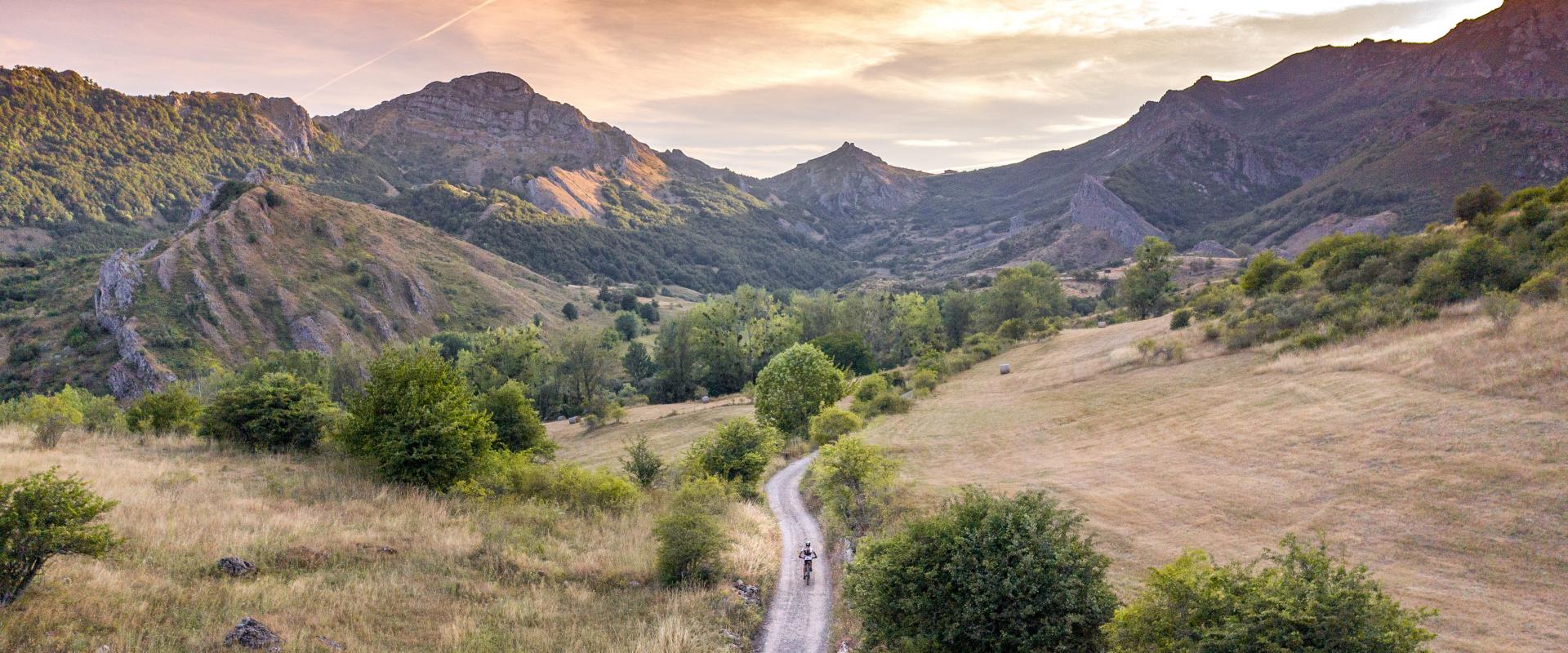
Lois / Valle de Anciles


*En condiciones climatológicas normales
Descripción de señaletica MIDE
Severidad del medio
- 1 - El medio no está exento de riesgos
- 2 - Hay más de un factor de riesgo
- 3 - Hay varios factores de riesgo
- 4 - Hay bastantes factores de riesgo
- 5 - Hay muchos factores de riesgo
Orientación en el itinerario
- 1 - Caminos y cruces bien definidos
- 2 - Sendas o señalización que indica continuidad
- 3 - Exige la identificación precisa de accidentes geográficos y puntos cardinales
- 4 - Exige técnicas de orientación y navegación fuera de traza
- 5 - La navegación es interrumpida por obstáculos que hay que bordear
Dificultad en el desplazamiento
- 1 - Marcha por superficie lisa
- 2 - Marcha por caminos de herradura
- 3 - Marcha por sendas escalonadas o terrenos irregulares
- 4 - Es preciso el uso de las manos para mantener el equilibrio
- 5 - Requiere pasos de escalada para la progresión
Esfuerzo necesario
- 1 - Hasta 1 h de marcha efectiva
- 2 - Más de 1 h y hasta 3 h de marcha efectiva
- 3 - Más de 3 h y hasta 6 h de marcha efectiva
- 4 - Más de 6 h y hasta 10 h de marcha efectiva
- 5 - Más de 10 h de marcha efectiva
Calculado según criterios MIDE para un excursionista medio poco cargado y en condiciones climatológicas normales
